All articles
12 National Parks and Protected Landscapes in Cambodia
Twelve national parks and protected landscapes in Cambodia, from Kirirom and Virachey to Koh Rong and Phnom Aural, with ideas for planning a visit.
Twelve national parks and protected landscapes in Cambodia, from Kirirom and Virachey to Koh Rong and Phnom Aural, with ideas for planning a visit.
Most trips to Cambodia are planned around temples, and understandably so. But the country also protects a long list of mountains, forests, coastlines and islands, spread from the Vietnamese border to the Gulf of Thailand. Here are twelve of them, what each one looks like, and where to find it.
| Your starting point | Places to consider | How to approach the visit |
|---|---|---|
| Siem Reap | Phnom Kulen | Add a mountain and waterfall day to a temple stay |
| Phnom Penh | Kirirom | Plan a separate outing for pine forest and cooler air |
| Kampot and Kep | Bokor and Kep | Combine a hill or forest visit with time on the coast |
| Sihanoukville and the islands | Ream and Koh Rong | Choose between coastal landscapes and time on the water |
| Northeastern or Cardamom journey | Virachey and the Cardamom Mountains | Arrange a local guide and allow more time |
These are twelve places from our nature selection, rather than an exhaustive inventory of Cambodia's national parks. They include other kinds of protected landscape: Phnom Aural, for example, is a wildlife sanctuary.
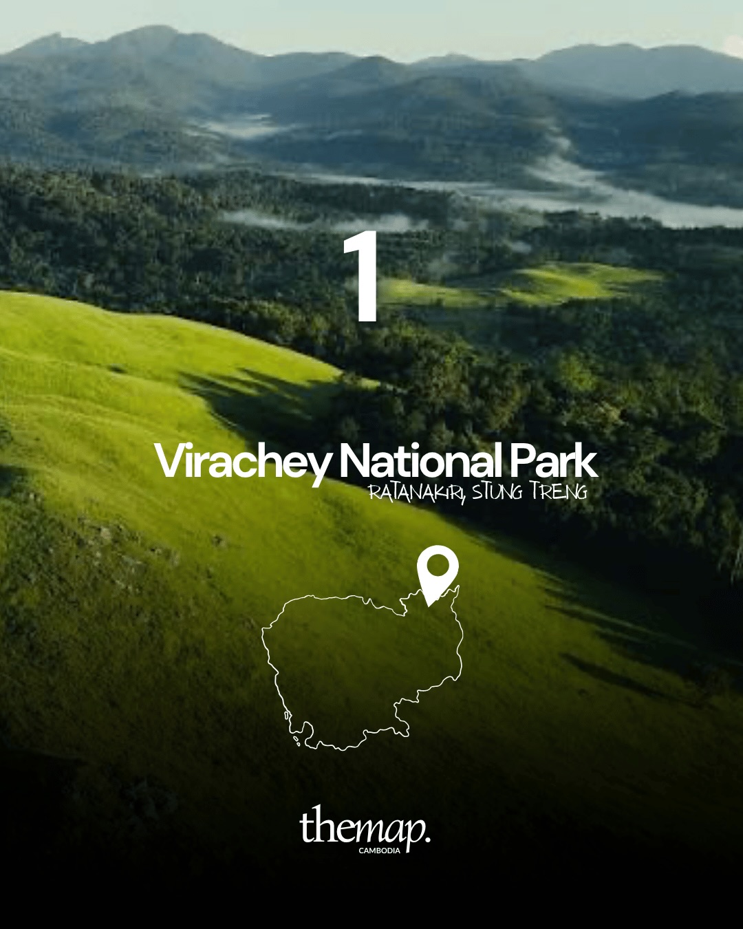
Virachey sits across Ratanakiri and Stung Treng, in the corner of the country that borders both Laos and Vietnam. It is one of the largest protected areas in Cambodia and one of the least visited: grass-covered ridges falling away into forested valleys, with mist sitting in the folds well into the morning. Trips here are organised locally and usually run several days.
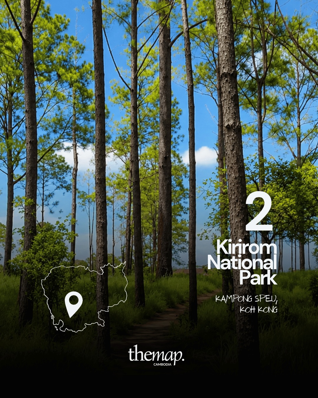
Kirirom is in Kampong Speu, close enough to Phnom Penh for a day out. The draw is the pine forest — tall, straight trunks and dirt tracks through the grass, at an altitude where the air is noticeably cooler than the plain below. It is the easiest park on this list to reach without planning.
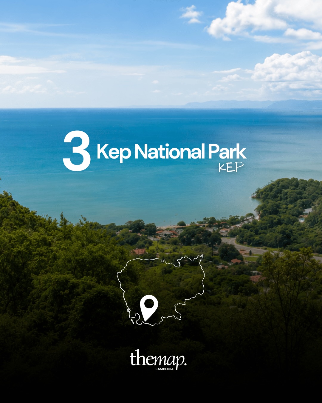
The park above Kep is the smallest here, a wooded hill rising directly behind the town with a path circling it. From the higher stretches you look out over the bay and across to the islands. Easy to add to a slow weekend on the coast.
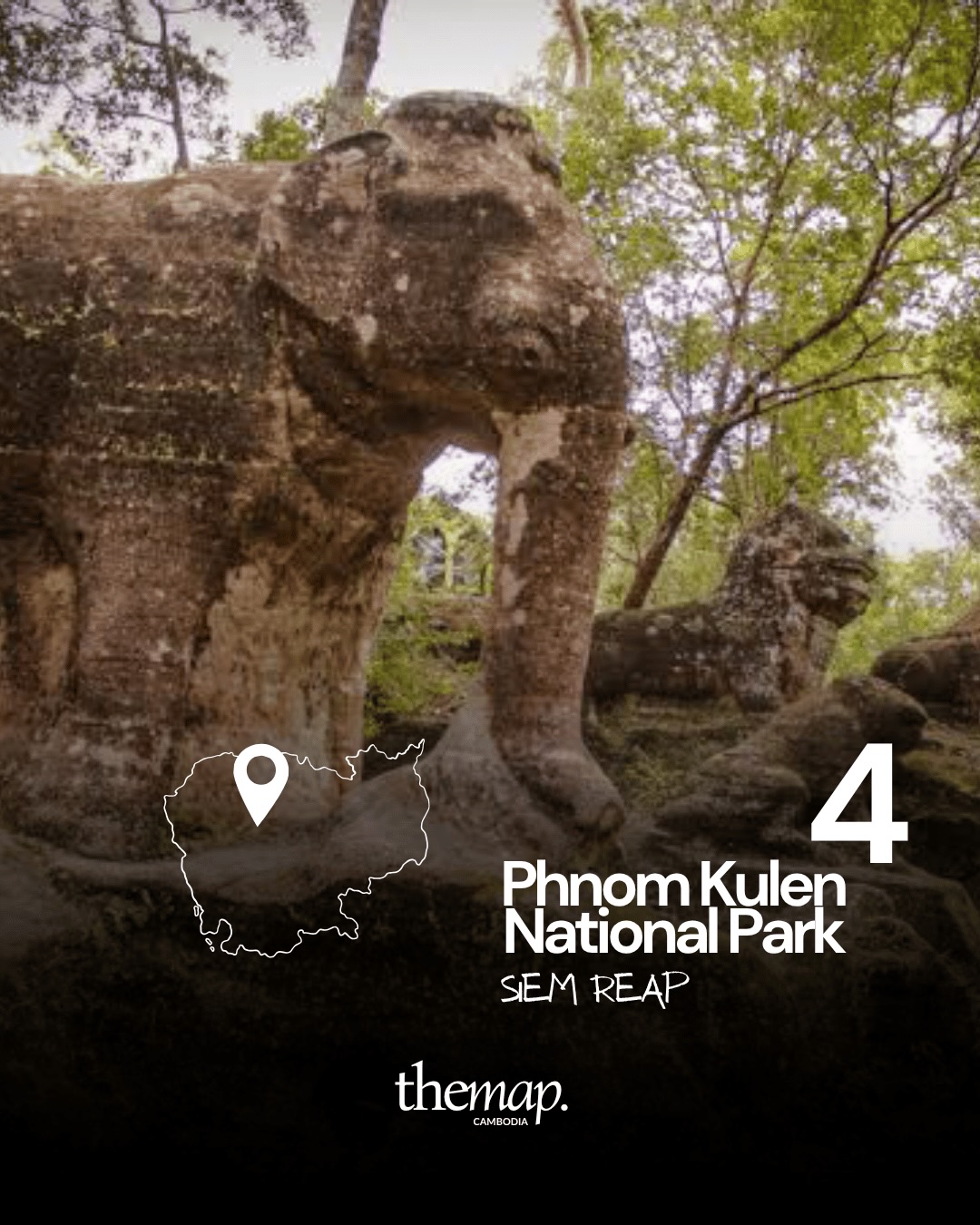
Phnom Kulen is an hour or so from Siem Reap, and the one park most travelers already have on their list. It holds carved stone animals, riverbed carvings and waterfalls among the trees — the elephant pictured here is one of several figures left in the forest. If you are already exploring the area, our guide to the lesser-known temples around Siem Reap covers what else is worth the drive.
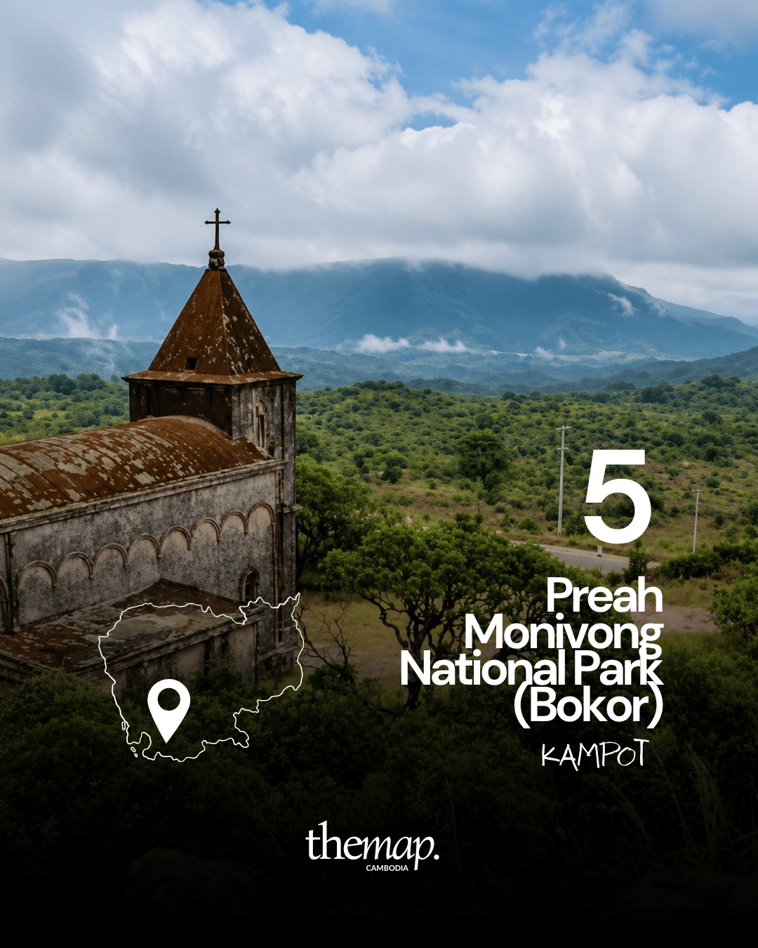
On the plateau above Kampot, Bokor is where the old hill station was built, and the abandoned church still stands with the mountains behind it. Cloud moves across the plateau for much of the year, which is most of the appeal — and the reason the view can disappear entirely within minutes.
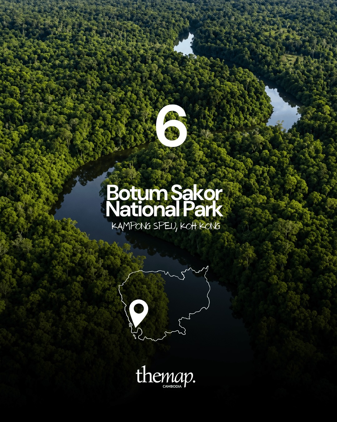
Botum Sakor occupies a large peninsula in Koh Kong, on the southwestern coast. Seen from above it is dense canopy cut by a slow river winding towards the sea. Access is limited and mostly by boat or unsealed road.
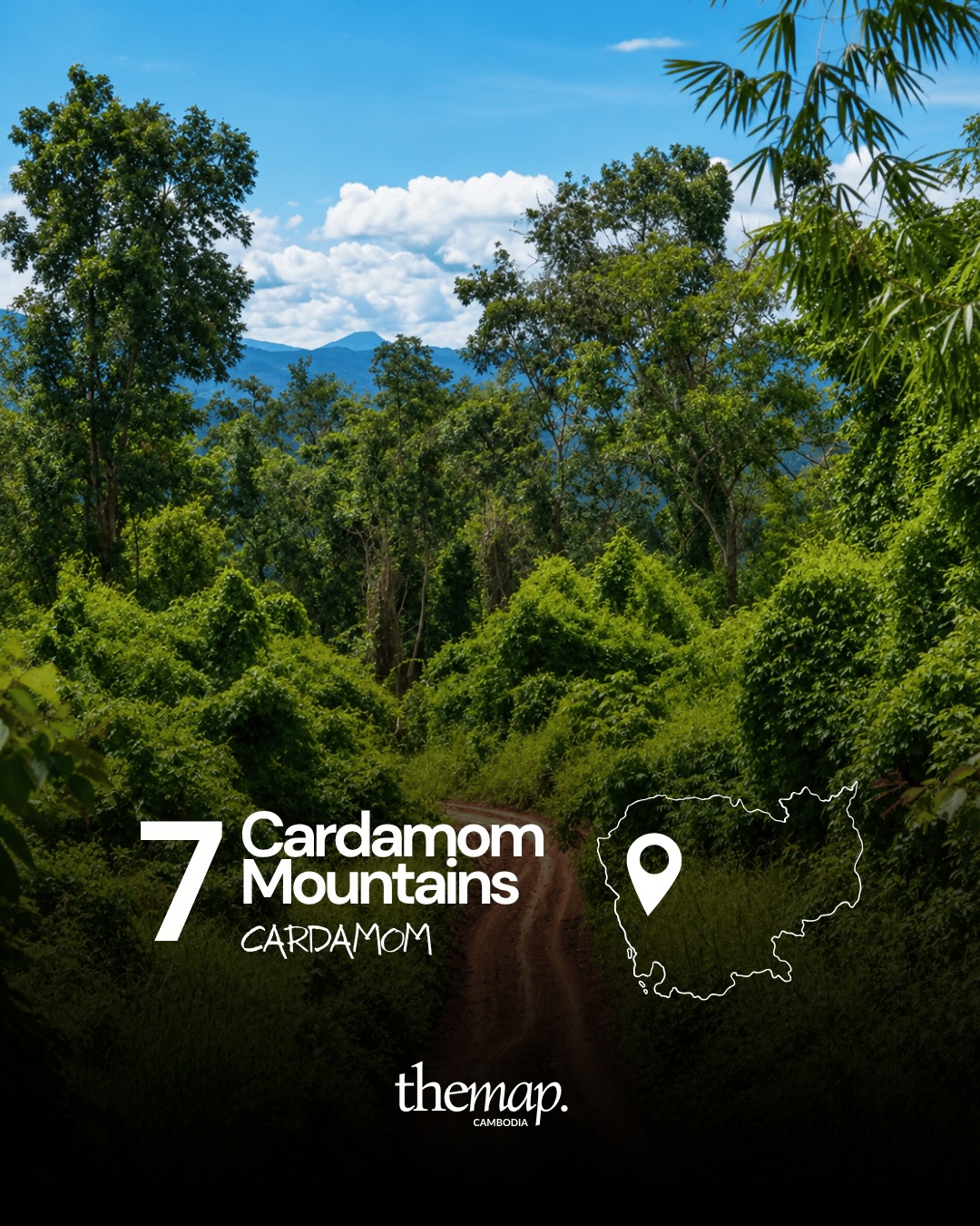
The Cardamom range runs across southwestern Cambodia, spanning Koh Kong and Pursat, and holds some of the largest continuous rainforest in mainland Southeast Asia. Roads through it are narrow and green on both sides, with the ridgeline showing through the gaps. Community-run ecotourism projects operate at several points along the edges.
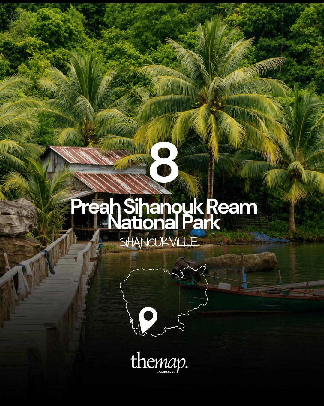
Ream covers mangrove, estuary and beach just outside Sihanoukville. The picture here is what most of it looks like from the water: palms, a wooden walkway, fishing boats tied up beside a hut with a rusted roof. Boat trips leave from the villages inside the park.
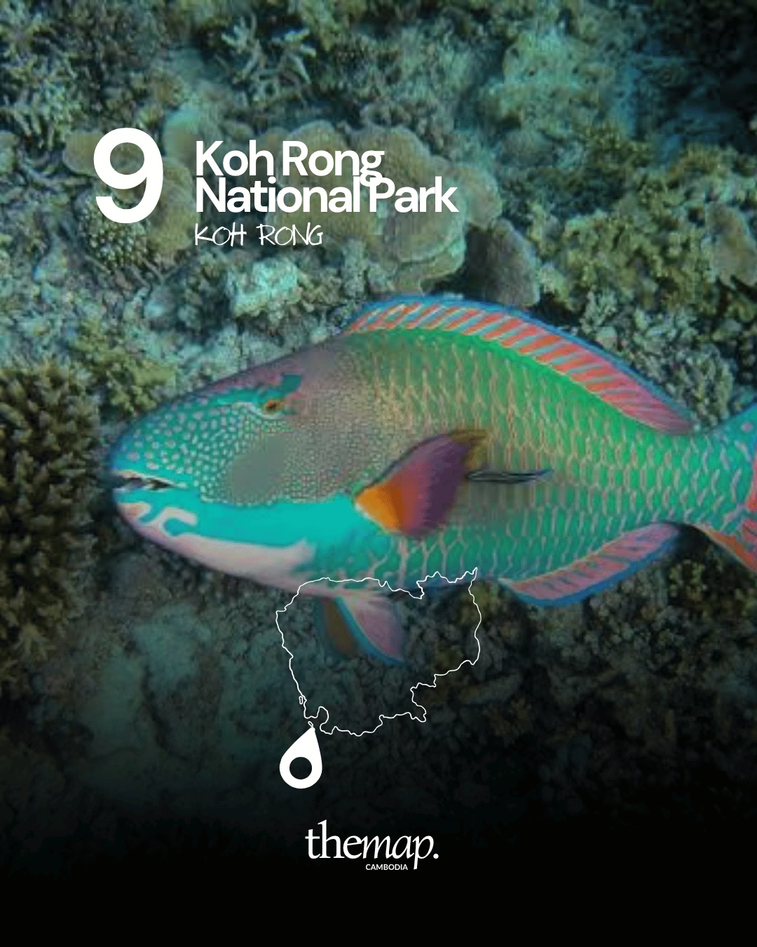
The waters around Koh Rong are protected as a marine park, which is the part visitors tend to miss while they are on the beach. Below the surface there is coral and reef fish — the parrotfish pictured is a common sight on a snorkelling trip. Conditions vary a lot by season and by site.
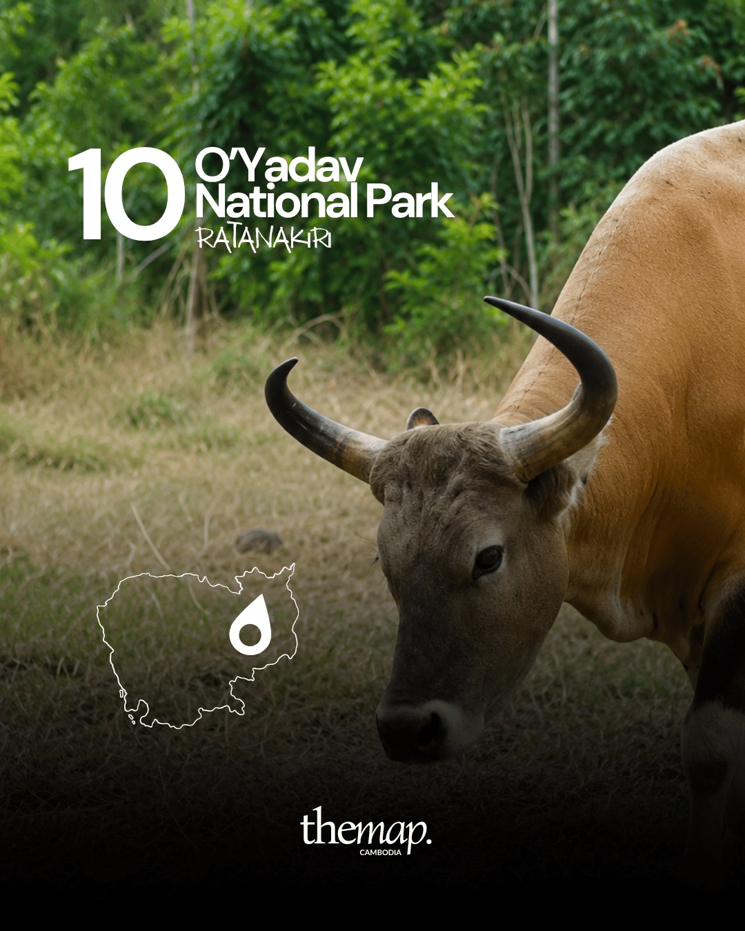
O'Yadav lies along the Vietnamese border in Ratanakiri, a mix of forest and open grassland. It is one of the areas where wild cattle are still seen at the forest edge, as in the photograph here. Visits go through local operators in Banlung.
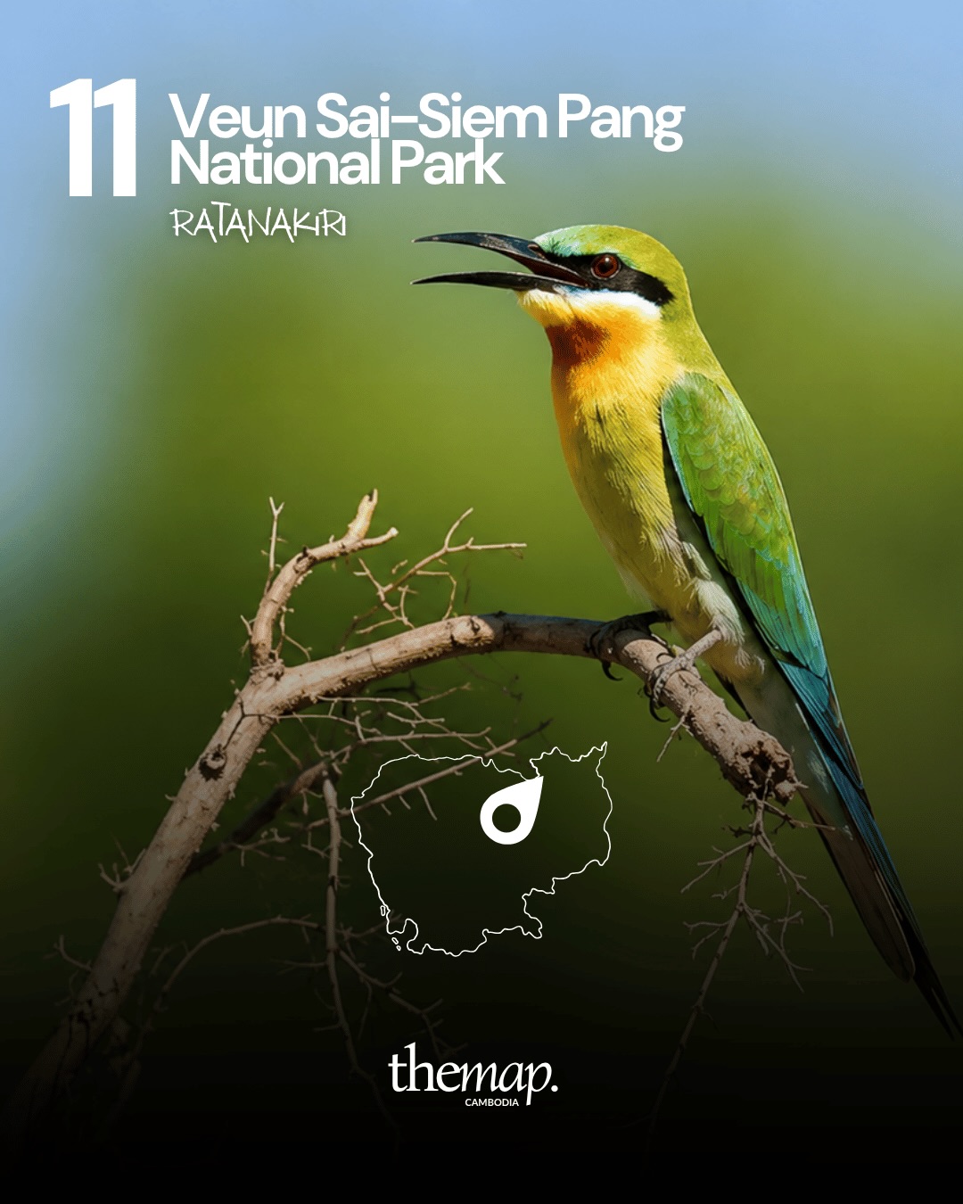
Veun Sai–Siem Pang protects lowland forest in the northeast and is known above all for its birds — bee-eaters, hornbills, and rarer species that draw birdwatchers specifically. It is also one of the sites associated with conservation work on gibbons.
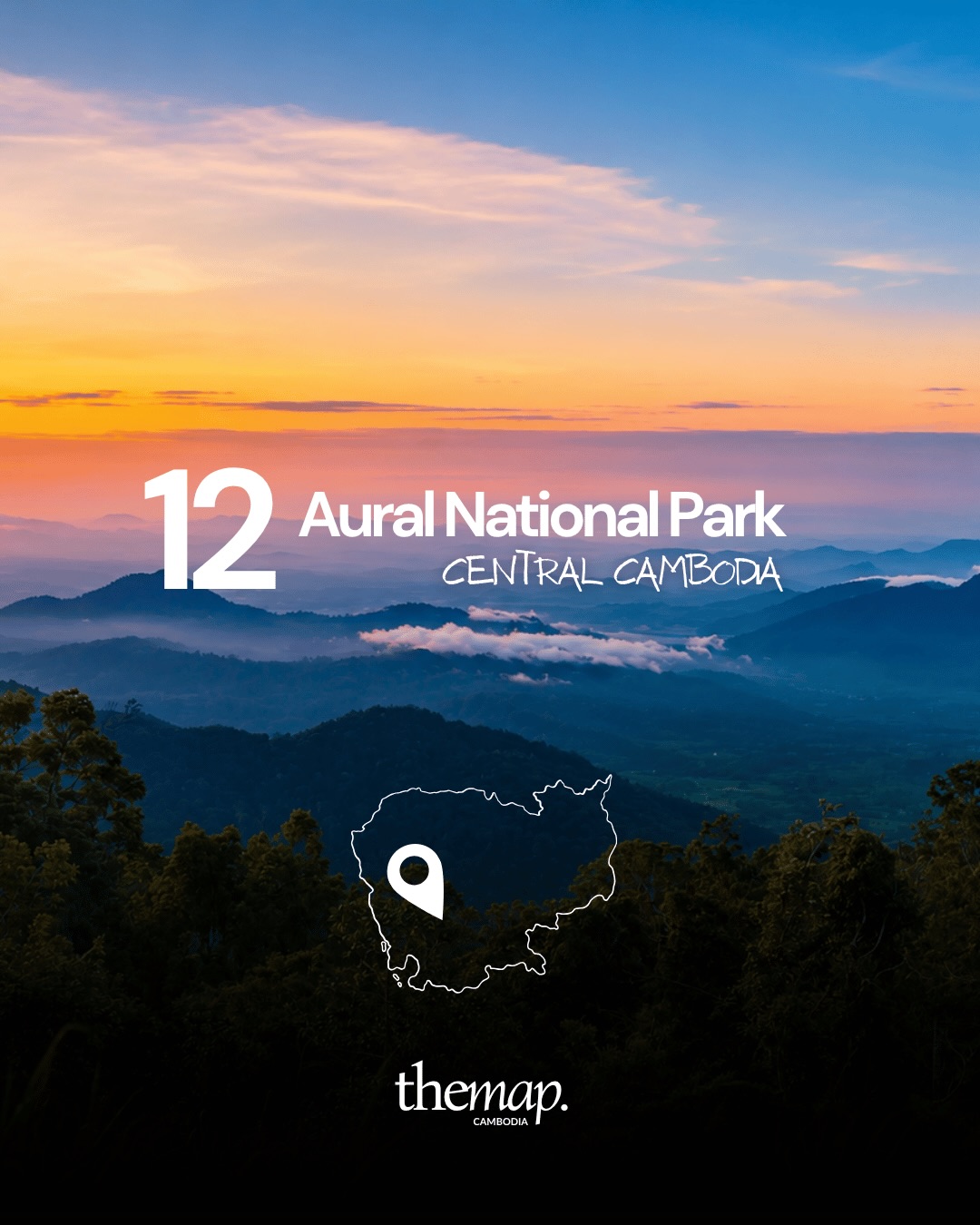
Phnom Aural rises in central Cambodia and is the highest mountain in the country. The surrounding protected area is Phnom Aural Wildlife Sanctuary, a different designation from a national park. The landscape is layered ridges with mist sitting between them at sunrise, as pictured. Climbing it is a guided multi-day walk rather than a day trip.
These protected landscapes vary enormously in how easy they are to visit. Kirirom, Kep, Phnom Kulen and Bokor can be reached on a normal day trip; Virachey, Botum Sakor, O'Yadav and Phnom Aural generally cannot, and are arranged through operators in the nearest town. Entrance arrangements, ranger stations and road conditions all change from one season to the next, so check locally before setting out rather than relying on anything written in advance — including this page.
The dry season, roughly November to April, is the simpler window for the northeastern and mountain parks. The coast and the islands work year-round, with visibility underwater changing month to month.
Explore more places on The Map Cambodia.
The Ministry of Environment identifies Phnom Aural as a wildlife sanctuary in its 2022–2031 management plan. This guide keeps the twelve landscapes in our original selection while distinguishing that status.
From inspiration to the ground
Explore the stops that interest you. For the exact order, realistic timing and coordination, we then shape the trip around your dates.
Want to connect it all properly?
A person from the team replies and adapts the route to your pace.
A local selection from The Map, straight to your inbox.
Seven places to visit in Cambodia beyond Angkor, from Koh Rong Sanloem and Tonlé Sap to Kratie’s dolphins, crater lakes and mountain landscapes.
ReadFrom the SOSORO Museum to the Royal Palace and PSE, here are five meaningful places to visit in Phnom Penh for history, craft and culture.
ReadCompare Koh Rong, Koh Rong Samloem and Koh Sdach by atmosphere, bays, community and transfer complexity before choosing where to stay.
Read