Cambodia Motorbike Loop: Our 2,500 km Route (2026)
A one-month, 2,500 km Cambodia motorbike loop through the Cardamom Mountains, coast, Mekong and eastern highlands, with stages and road lessons.
Field notes / Cambodia
A month on the road.
From the Cardamoms to the Mekong, the coast to the highlands. Find the places from our journey, then open their chapter.
Our logbook
≈ 2 500 km
Start & finish
Siem Reap
20 landmarks · click a nameSwipe to explore →
Story itinerary aligned to roadsBoat to Koh Rong · schematic
Reconstructed from our Moto loop highlight maps and aligned to the road network. This is not a GPS track or motorcycle navigation. The detailed detour inside Phnom Tbeng remains to be confirmed. The bike stayed on the mainland during our Koh Rong crossing.
A weekend for Hélène’s 30th became a month on the road
We were meant to go away for a weekend for Hélène’s 30th birthday. We ended up spending about a month on the road, from late April to late May, covering roughly 2,500 km around Cambodia.
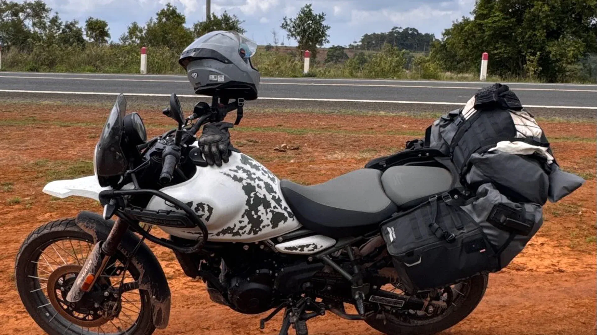
We brought our laptops and kept working between stops. Our bike was a Royal Enfield Himalayan 450, fitted with Lone Rider ADV luggage.
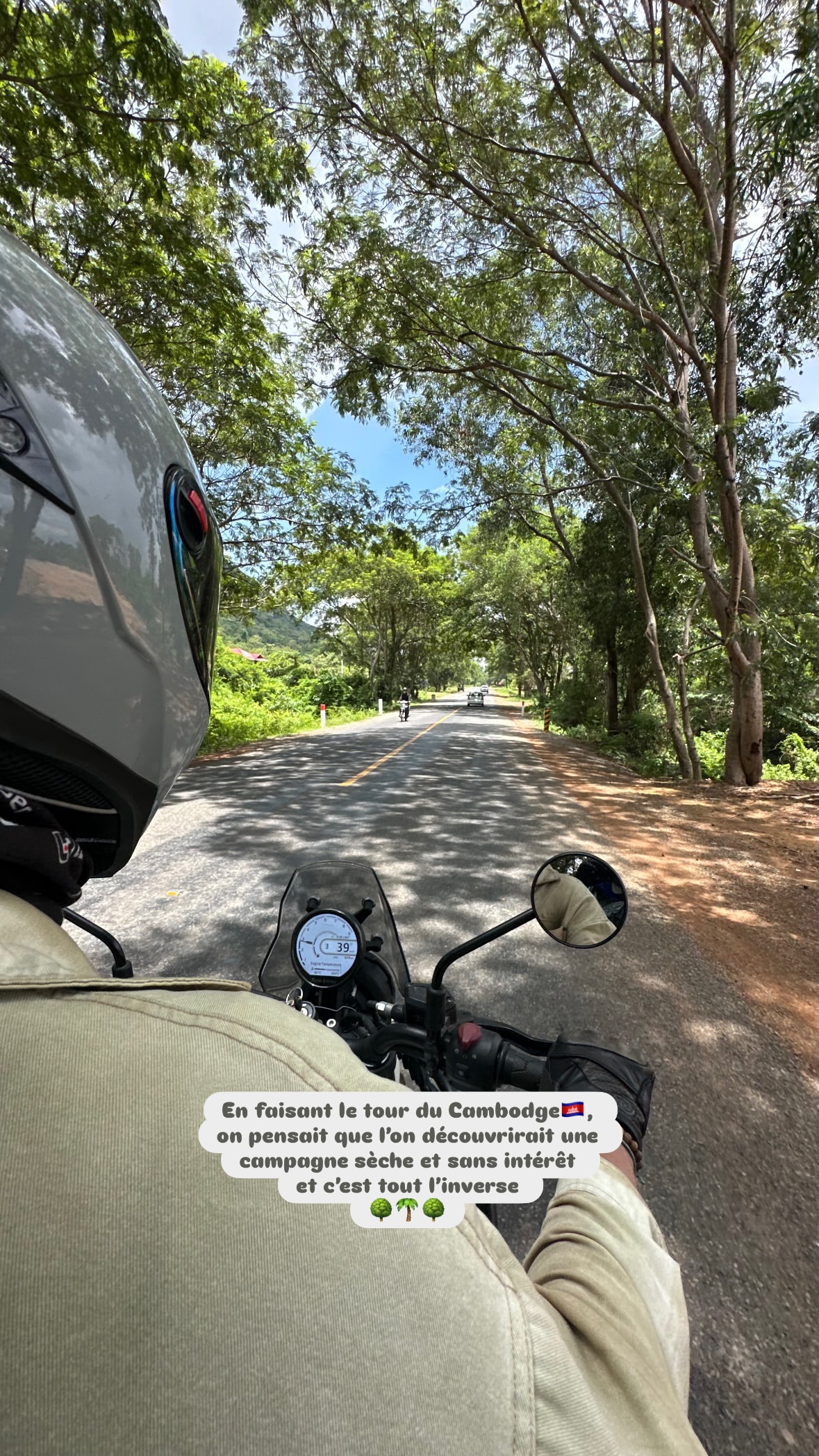
The roads surprised us. Riding through the Cardamoms was incredible: good tarmac and very little traffic. The only really rough stretch on our loop was about 30 km of dirt and loose stones between Sihanoukville and Kampot.
We had no rain during the trip. Here is the route, the stops we enjoyed and a few things we would do differently.
Cambodia motorbike loop: quick facts
Trip fact
Our journey
Distance
Approximately 2,500 km
Duration
About one month, from late April to late May
Route
18+ stops from the Cardamom Mountains to the eastern highlands and northern forests
Longest logged day
319 km, from Siem Reap to Veal Veang
Surfaces
Mostly tarmac; about 30 km of dirt and loose stones between Sihanoukville and Kampot
Best for
Experienced riders comfortable with long days, heat and changing surfaces
Distances above come from our trip log and should not replace live navigation, fuel planning or a same-day road check.
Stage 1: Into the Cardamom Mountains
The first day took us from Siem Reap to Veal Veang: 319 km. It was a long ride, with a stop at Veayo Coffee along the way.
The next stretch, from Veal Veang through Osoam towards Tatai, was one of our favourite rides. Long bends, forest, little traffic and very good tarmac. National Road 10 was recently upgraded.
The Techo Santipheap Russey Chrum Bridge is another reason to stop and look around.
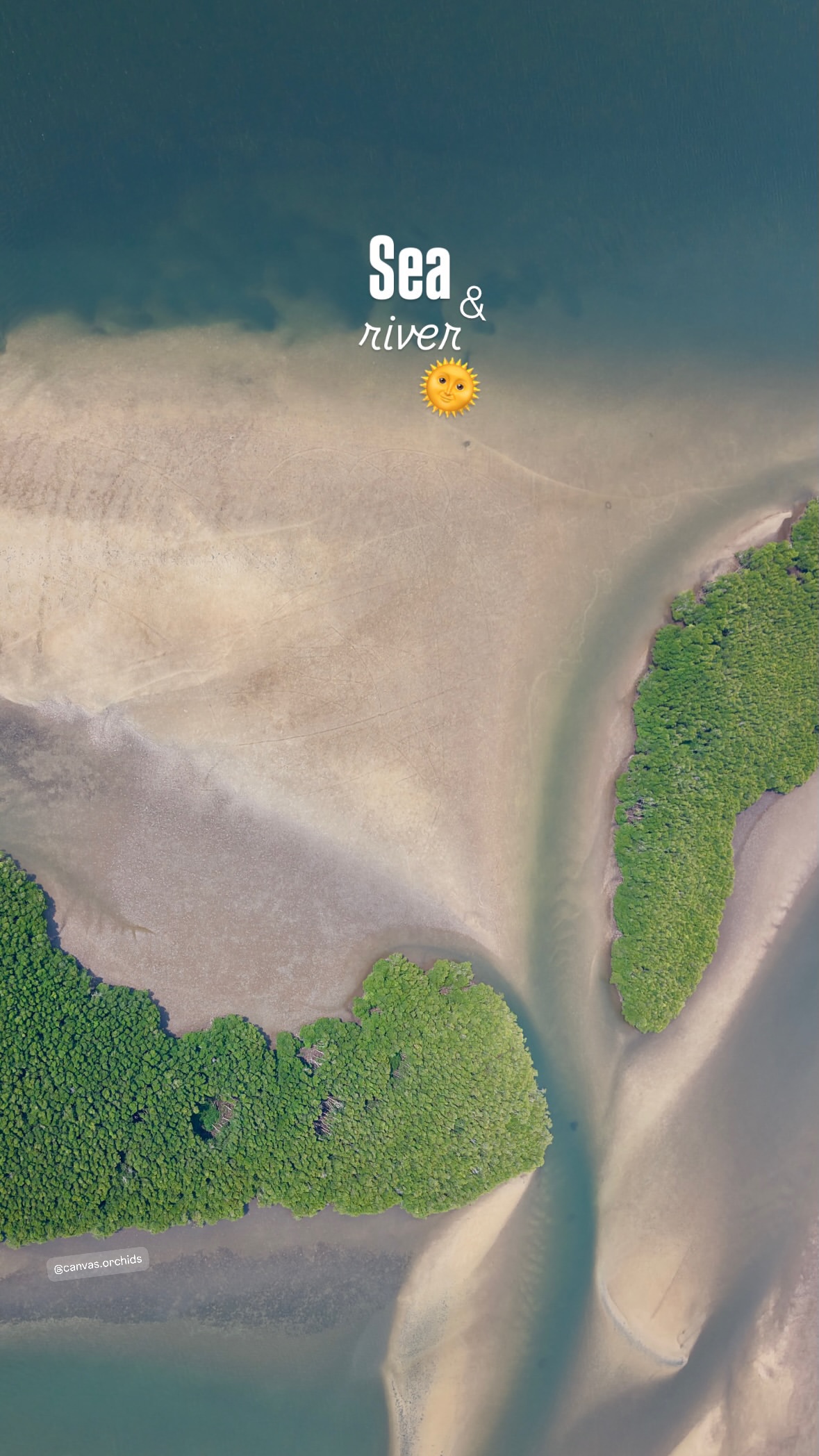
Where the sea and river meet in Koh Kong, seen from above
At Tatai, we left the bike and took a boat to Canvas & Orchids. A few days on the river were welcome after the riding. We also explored around Koh Kong.
Stage 2: Tatai, Sihanoukville and a pause on Koh Rong island
From Tatai, we headed to Sihanoukville, a 207 km stage in our notes. We left the bike in the autonomous port’s covered parking, advertised at USD 1 a day during our visit, then took a boat to Koh Rong island.
We stayed at Pagoda Beach. It was a proper beach break in the middle of the trip, before collecting the bike and heading towards Kampot.
Of the 100 km between Sihanoukville and Kampot, about 30 km were dirt and loose stones. That was the only really rough stretch on our loop. We slowed down and took our time. The rest of the riding was much easier than we had expected.
Stage 3: Kampot, Kep and the road to Phnom Penh
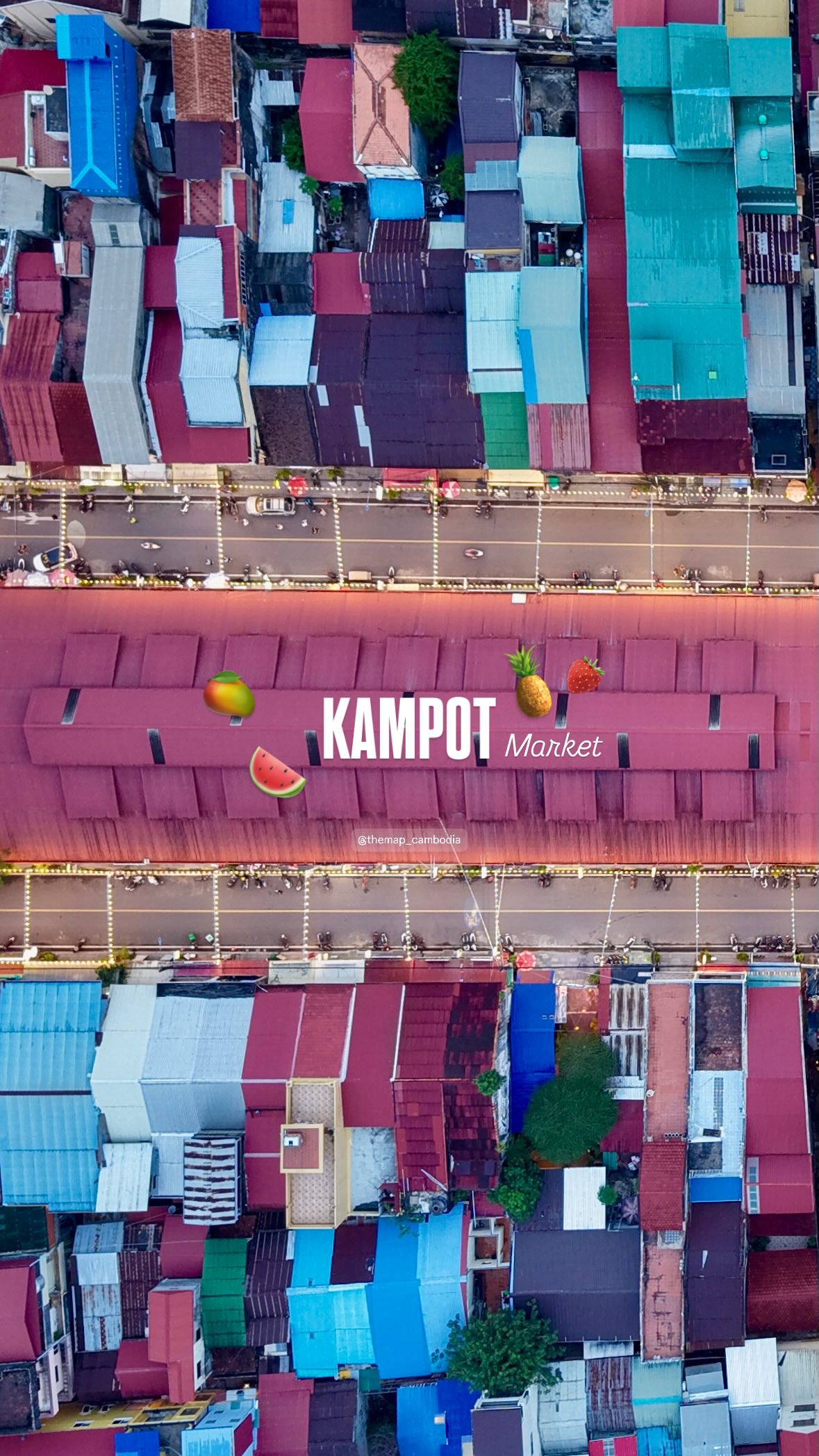
In Kampot, we explored the salt fields, market and riverside. We also visited La Plantation and had lok lak with fresh pepper.
The vivid roofs of Kampot Market beside the river
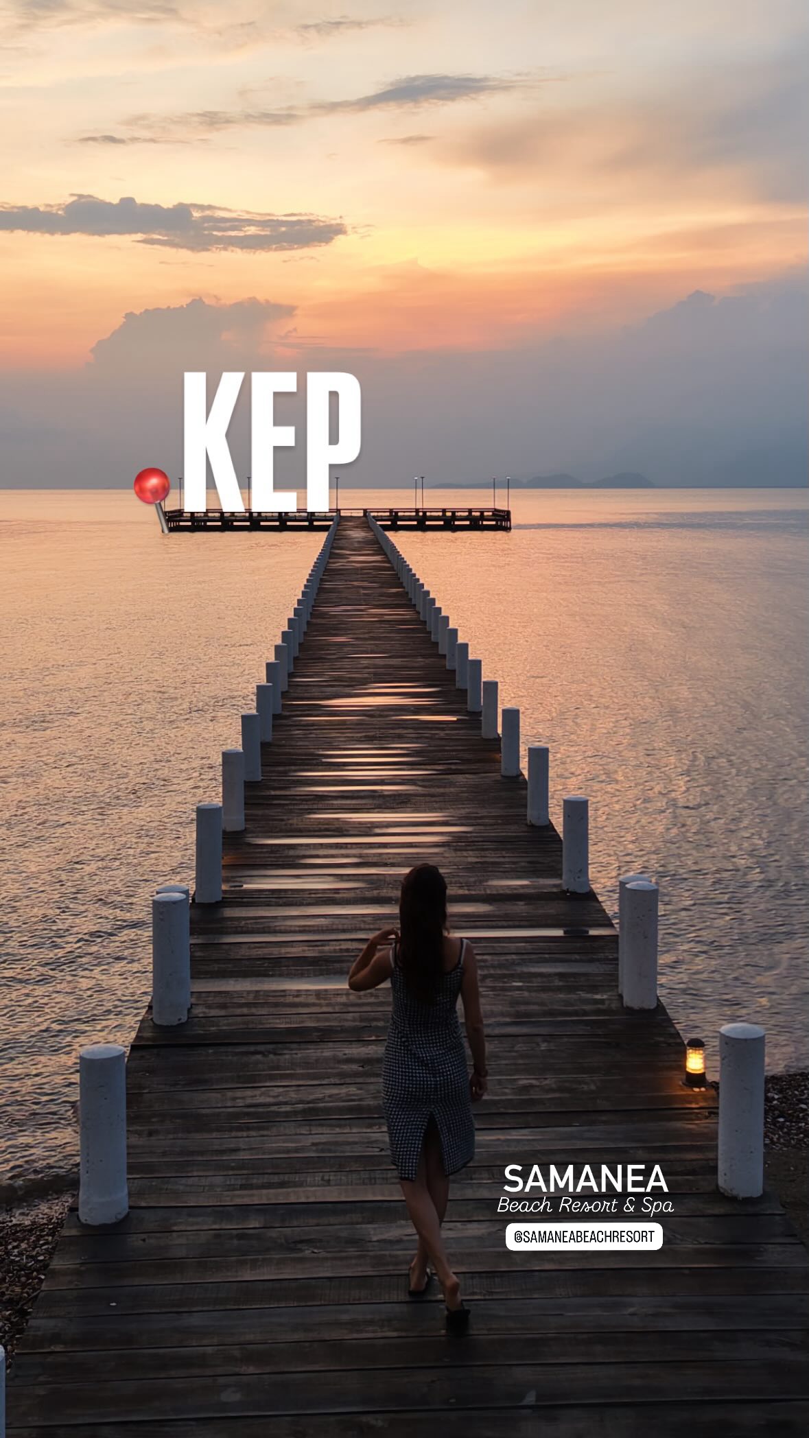
Kep was an easy next stop: 20 km in our notes. We spent a few days there, including a stay at Samanea Beach Resort.
The long jetty at Samanea Beach Resort in Kep at sunset
The road to Phnom Penh passes through Kampong Trach and its limestone hills. We did not visit the caves this time. Our journey maps record 152 km for this stage.
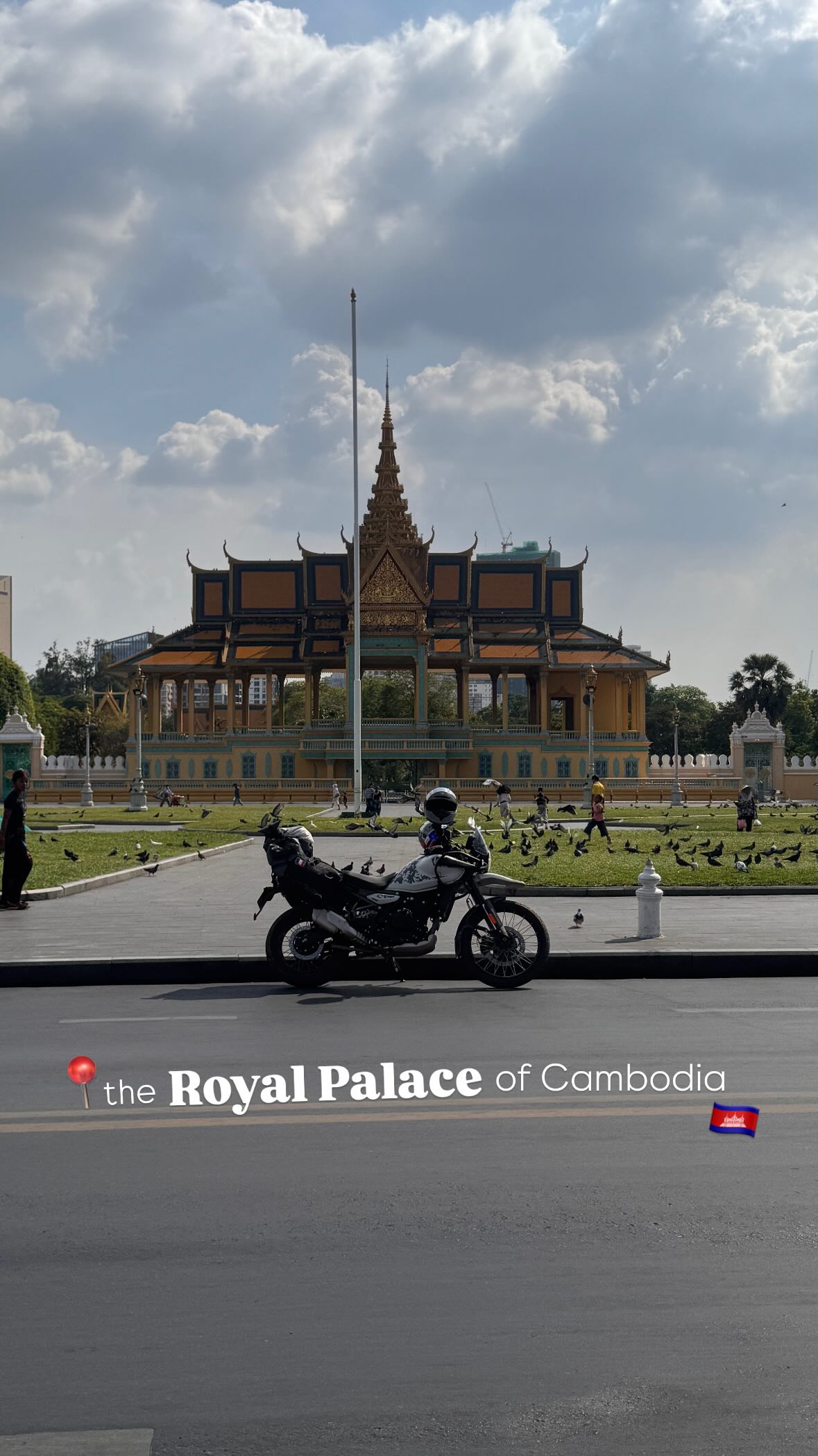
Our motorbike in front of the Royal Palace in Phnom Penh
Stage 4: Following the Mekong north
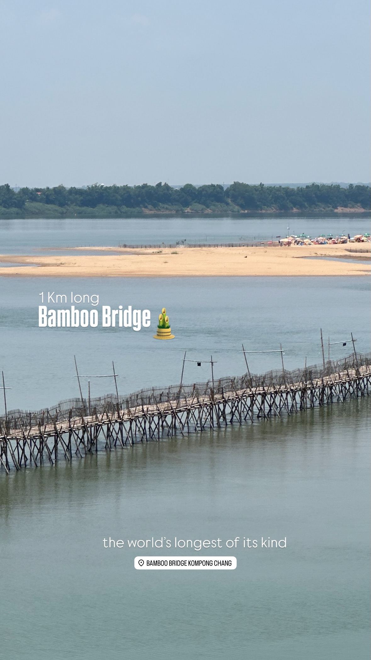
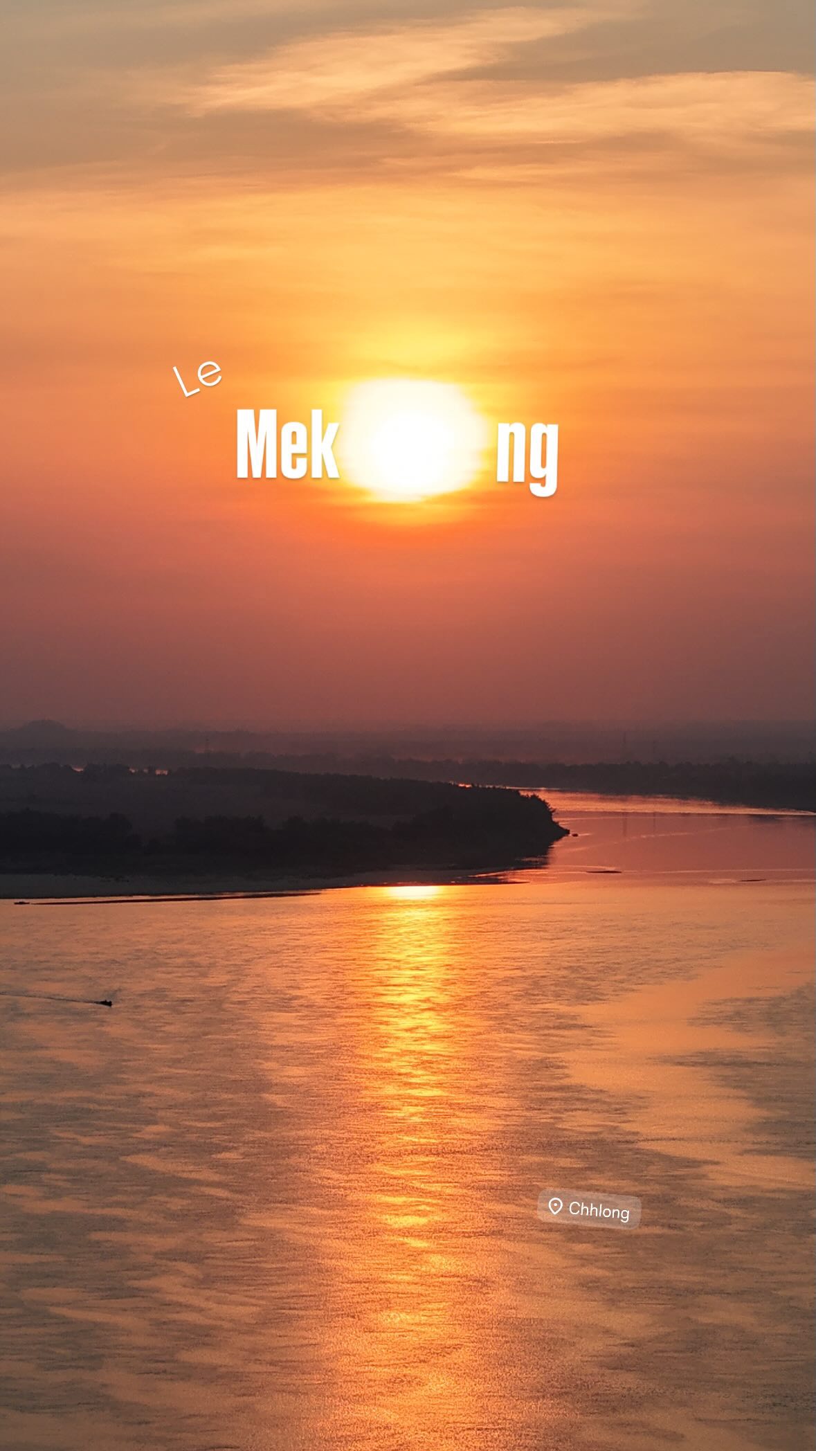
We rode 220 km from Phnom Penh to Chhlong via Kampong Cham, stopping near the Mekong and the bamboo bridge.
The bamboo bridge crossing the Mekong at Kampong Cham
This was also the day we underestimated the heat. It was around 40°C. Sébastien had not drunk enough and became ill from the heat between Phnom Penh and Chhlong. It is not our favourite memory, but it is worth sharing: drink regularly and take breaks before you start feeling unwell.
Town pharmacies can help with everyday supplies, including rehydration products. But confusion, loss of consciousness or failure to recover after cooling and rehydration needs urgent medical attention. A pharmacy is not a substitute for that care.
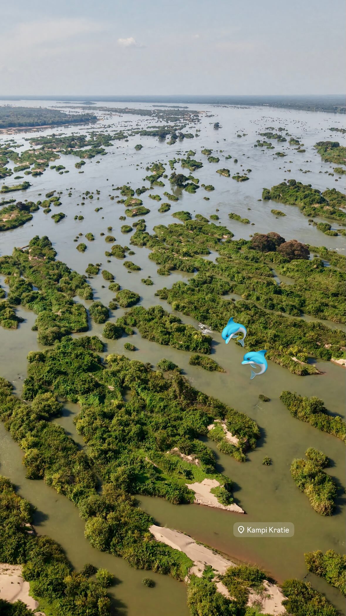
We continued to Kratie, ate at Street Three Eatery and rode the 15 km to Kampi, the area known for its Irrawaddy dolphins.
The braided Mekong channels at Kampi, north of Kratie
Stage 5: Red earth and highland coffee
From Kratie, we rode 209 km to Sen Monorom in Mondulkiri. The landscape changes considerably, and the air gets cooler.
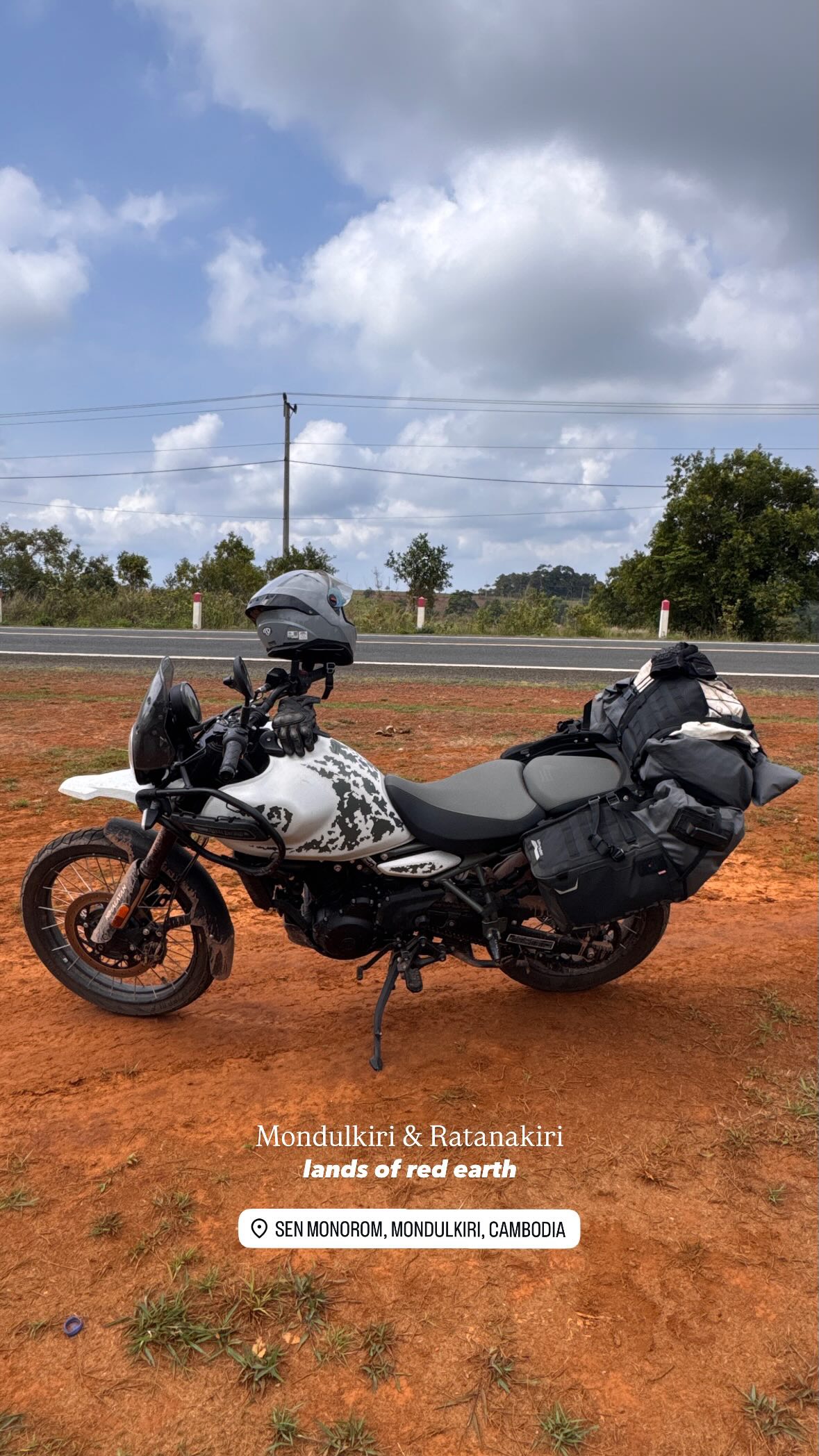
Our loaded bike on Mondulkiri’s red earth
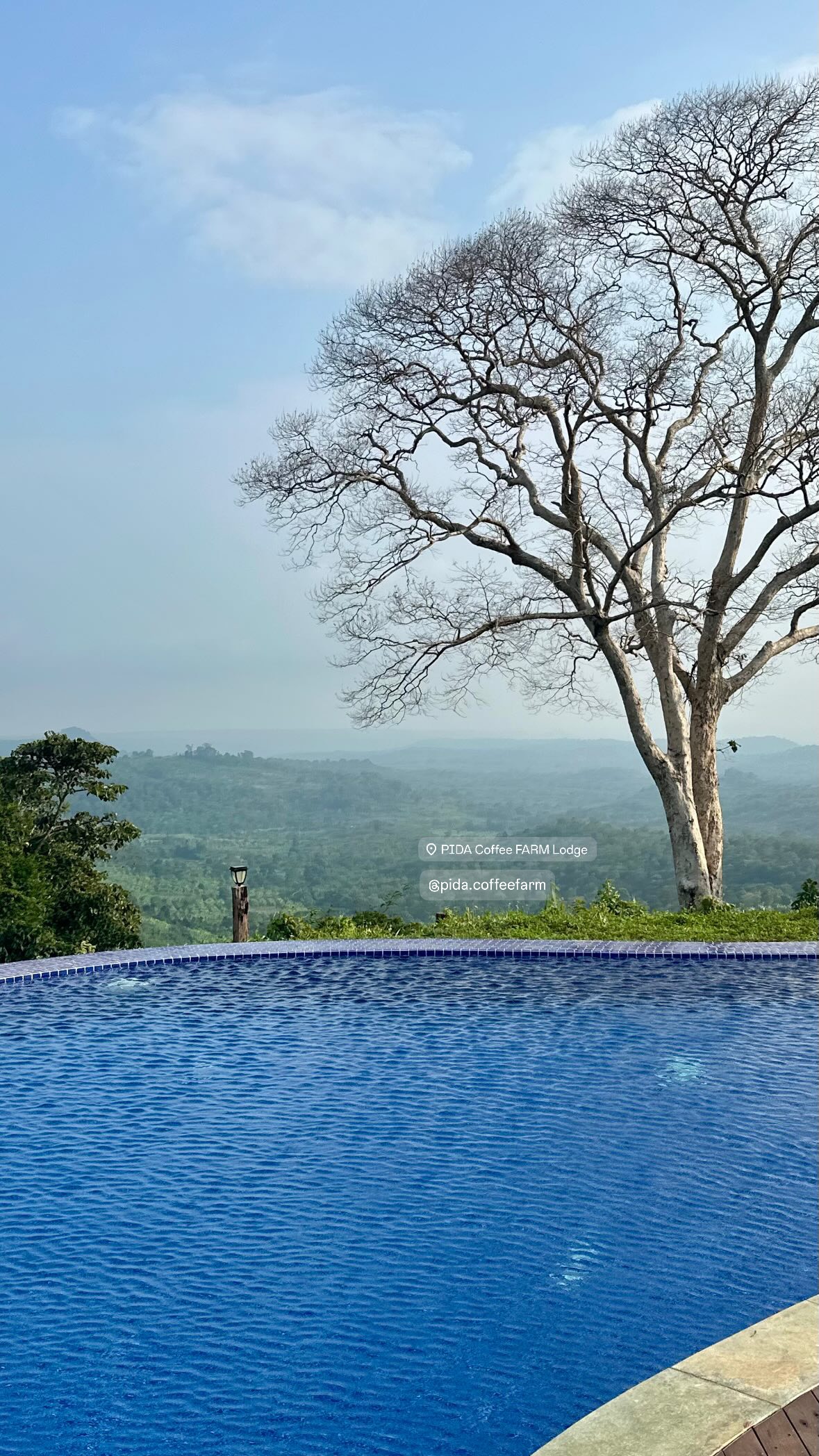
PIDA Coffee Farm was one of our favourite stops: coffee grown on site, a pool and views over the hills.
The view from Pida Coffee Farm in Mondulkiri
We also visited Sen Monorom market and had breakfast at Phea’s Treats before riding the 185 km to Banlung in Ratanakiri.
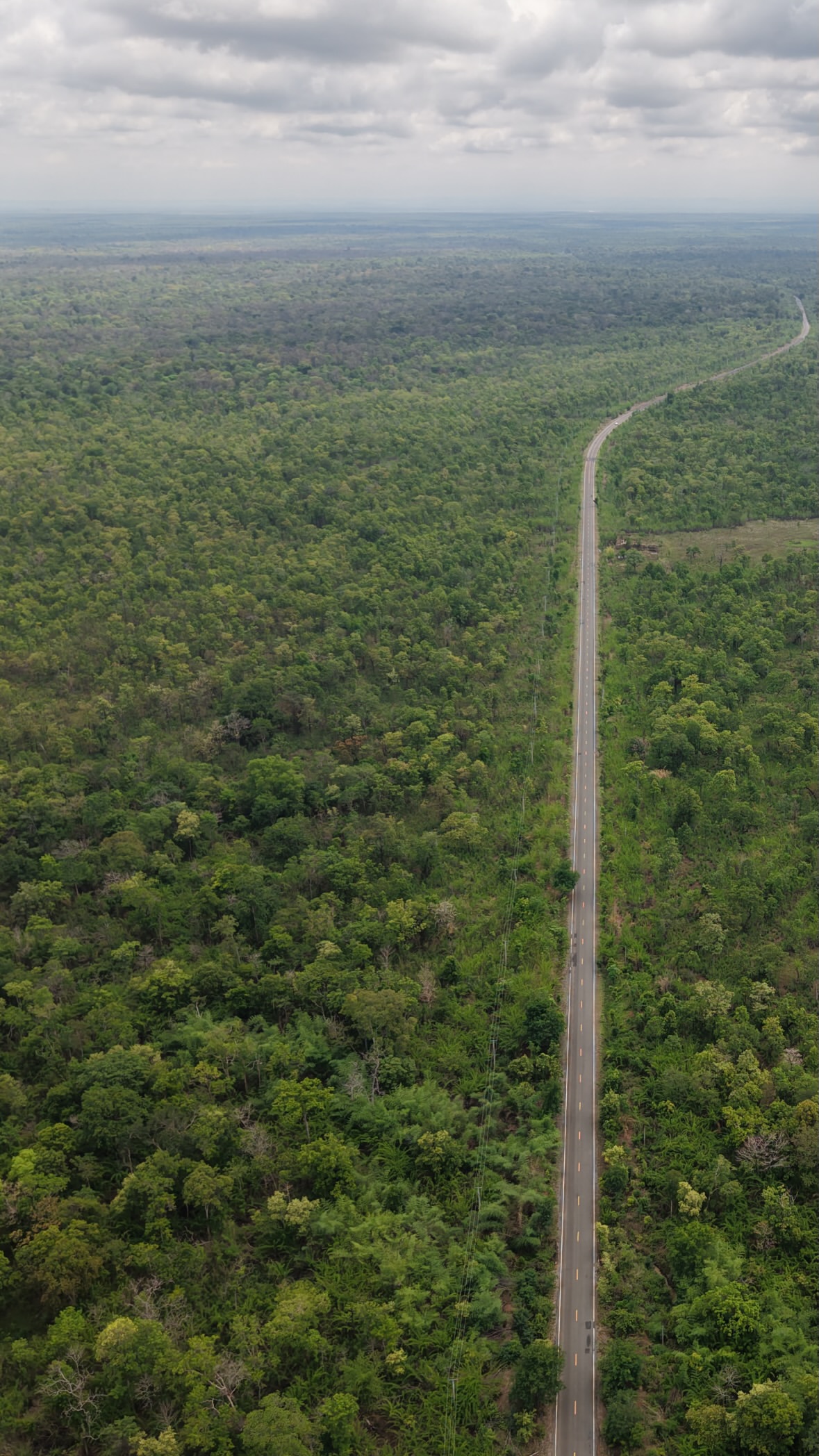
The forest road between Mondulkiri and Ratanakiri
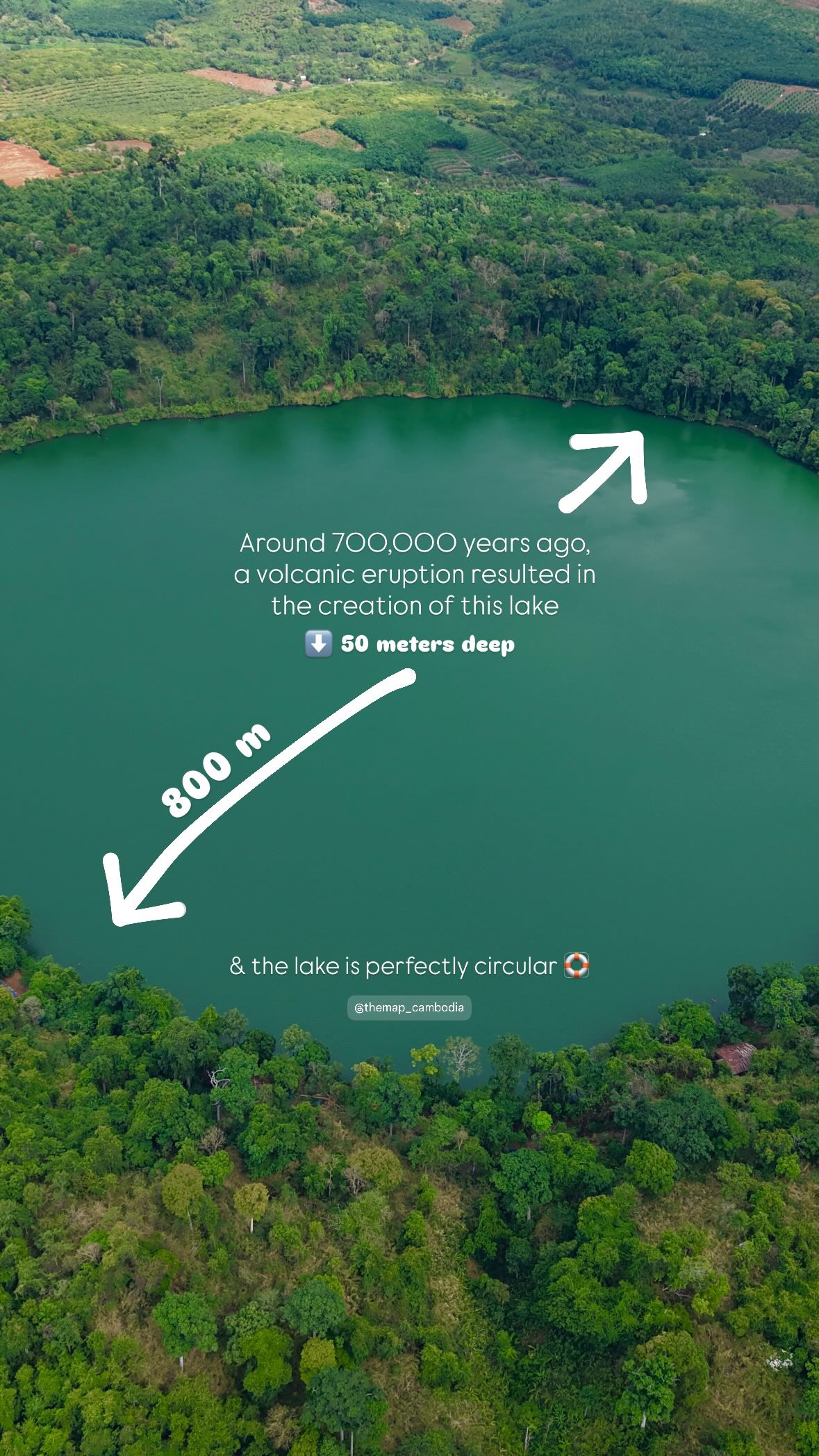
Near Banlung, we visited Yeak Laom lake.
Yeak Laom volcanic crater lake near Banlung
Stage 6: Stung Treng, Koh Ker and closing the loop
In Stung Treng, we stopped at Mekong Bird Resort and visited the Preah Ko ruins. We then travelled towards Phnom Tbeng and Koh Ker.
A shaded forest road in Phnom Tbeng Natural Heritage Park
Our return maps continue through Beng Mealea before Siem Reap. We got home in late May after about a month away.
Ten things we would keep in mind next time
Leave early. Riding in the heat soon becomes tiring.
Drink regularly. Sébastien’s experience made that point rather clearly.
Take breaks. Coffee, water and a few minutes in the shade do not need to wait for the next overnight stop.
Keep daily distances reasonable. Our 319 km first day need not become the daily target.
Check your licence and insurance before leaving. Our Cambodia motorbike guide covers what to look at.
Fill up before remote stretches. Stations are easy to find on main roads, less so between some stops.
We had no connection problems. Mobile coverage worked well for us throughout this loop.
Check the straps and balance the load. Especially with laptops in the luggage.
Bring rain protection. We had no rain, but that says nothing about the next trip.
Leave room to change the plan. We set out for a weekend. That plan did not last long.
What we packed on the bike
We used Lone Rider ADV luggage, with a small waist bag for our phone, keys and things we wanted close at hand. Here is what we packed:
For riding: helmet, gloves, jacket, hiking trousers, trainers, a neck covering and sunglasses.
For the stops: a modest rotation of T-shirts, a shirt, shorts, light trousers, sandals, a cap and a krama.
For weather and upkeep: sunscreen, a lightweight rain jacket and chain lubricant. We carried the rain jacket but had no rain during this journey.
For working and making images: a laptop and its charger, a phone and charger, a drone with spare propellers, earphones and a microphone. We also brought a Kindle.
Our laptops and camera equipment took up space. Without work on the road, you can pack much lighter.
Fuel: how much should you budget?
Our usual reference was around USD 1 per litre. With higher fuel costs amid the Middle East conflict, allow roughly USD 1.20 to 1.30 for regular petrol at this update.
The grade also matters, and prices can change quickly. The budget below allows 100 litres at USD 1.30, or USD 130. That volume is a planning assumption, not our measured consumption.
What would a similar month cost?
For two people, this example allows USD 20–40 per night for a double room, over 30 days and 29 nights. It is a guide to doing the loop with simple hotels, not a record of our own spending.
Expense
Calculation for two
Amount
Hotels
29 nights × USD 20–40 per room
USD 580–1,160
Meals and drinks
30 days × 2 people × USD 15
USD 900
Fuel
100 litres × USD 1.30, assumed for the 2,500 km
USD 130
Boat to Koh Rong
2 return tickets × USD 42 to Pagoda
USD 84
Laundry
Around USD 1/kg; example of 20 kg over the month
USD 20
Total for two
Depending on room prices, no added reserve
USD 1,714–2,294
That is roughly USD 1,710–2,290 for two, excluding the motorcycle purchase or rental, riding equipment, flights, visas and insurance. Add any paid activities you choose; there is no blanket sightseeing allowance in this example.
The boat price comes from the published Pagoda Beach service. Not every hotel mentioned in the story falls within USD 20–40: that range is the budget used here, not their quoted rates.
You can follow part of this loop by motorbike or with a driver. Tell us which stops interest you and how much time you have, and we can help plan the trip.
Frequently asked questions
How much time should you allow for an off-the-beaten-path Cambodia journey?
We took about a month. With less time, choose the Cardamoms and coast, or the Mekong and highlands.
Can you experience this route without riding a motorbike?
Yes, much of the route can also be done with a driver. Adapt the stops and arrange the boat crossings separately.
The roughly 30 km of dirt and loose stones between Sihanoukville and Kampot. Elsewhere, the heat was often more tiring than the road.
What was the most beautiful section?
For riding, the Cardamoms. For the stops, we would struggle to choose between Tatai, Koh Rong and the highlands.
Can The Map Cambodia help shape an off-the-beaten-path journey?
We can help think through a realistic route around your dates, group, travel style and priorities. Send the form below and we will reply personally with the most useful next step.
From inspiration to the ground
Continue with the useful guides.
Explore the stops that interest you. For the exact order, realistic timing and coordination, we then shape the trip around your dates.
Remote nature, local encounters, beautiful stays or a taste for adventure: tell us what draws you in. We will review your request personally and help you imagine a journey beyond the usual route.
Cambodia Motorbike Loop: 2,500 km Route | The Map Cambodia